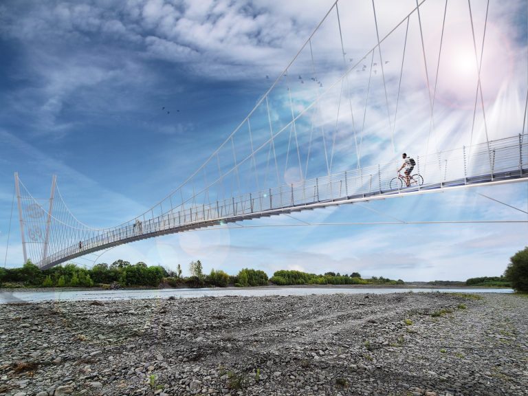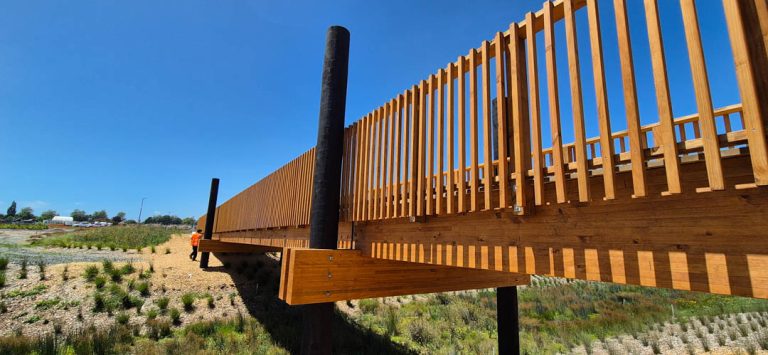
Are you considering a swing bridge project? We are the experts – talk to DC Structures Studio today!
Visitor information
Overview
The Hooker Valley Track is the main walking track from Mt Cook Village to Hooker Lake. This beautiful glacial lake offers stunning views of Aoraki / Mount Cook, the tallest mountain in Aotearoa New Zealand.
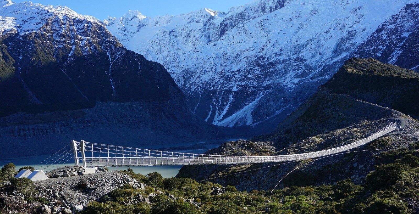
The track crosses three bridges. In April 2025, the Department of Conservation (DOC) permanently closed the old bridge. A new hybrid suspension and swing bridge, designed by DC Structures Studio, opened in July 2026. It now provides a safer and more reliable crossing for visitors.
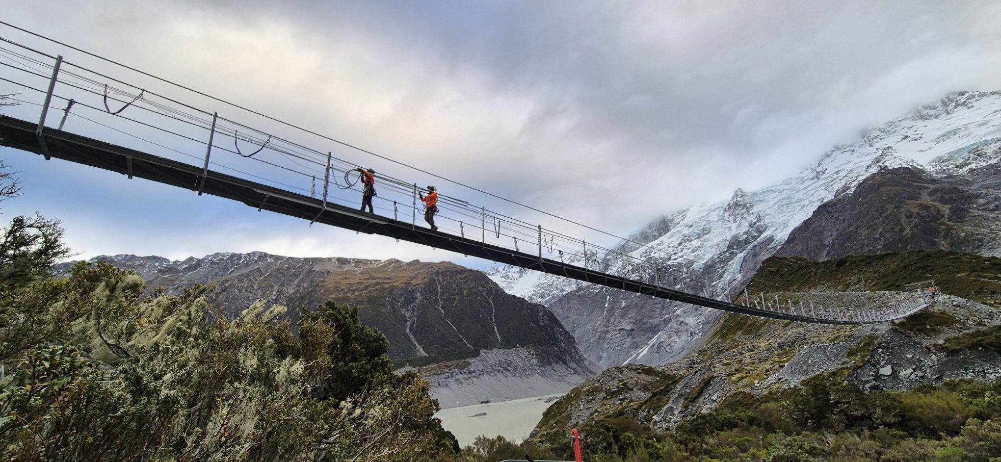
At 189 metres, this is the longest span pedestrian bridge in Aotearoa. Mt Cook is a massive tourist destination, and over a million people will cross the bridge each year!
It’s also one of the most stunning locations in the country to be working, and we feel very privileged to have designed this bridge.
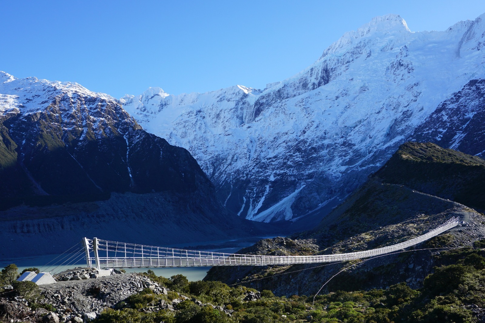
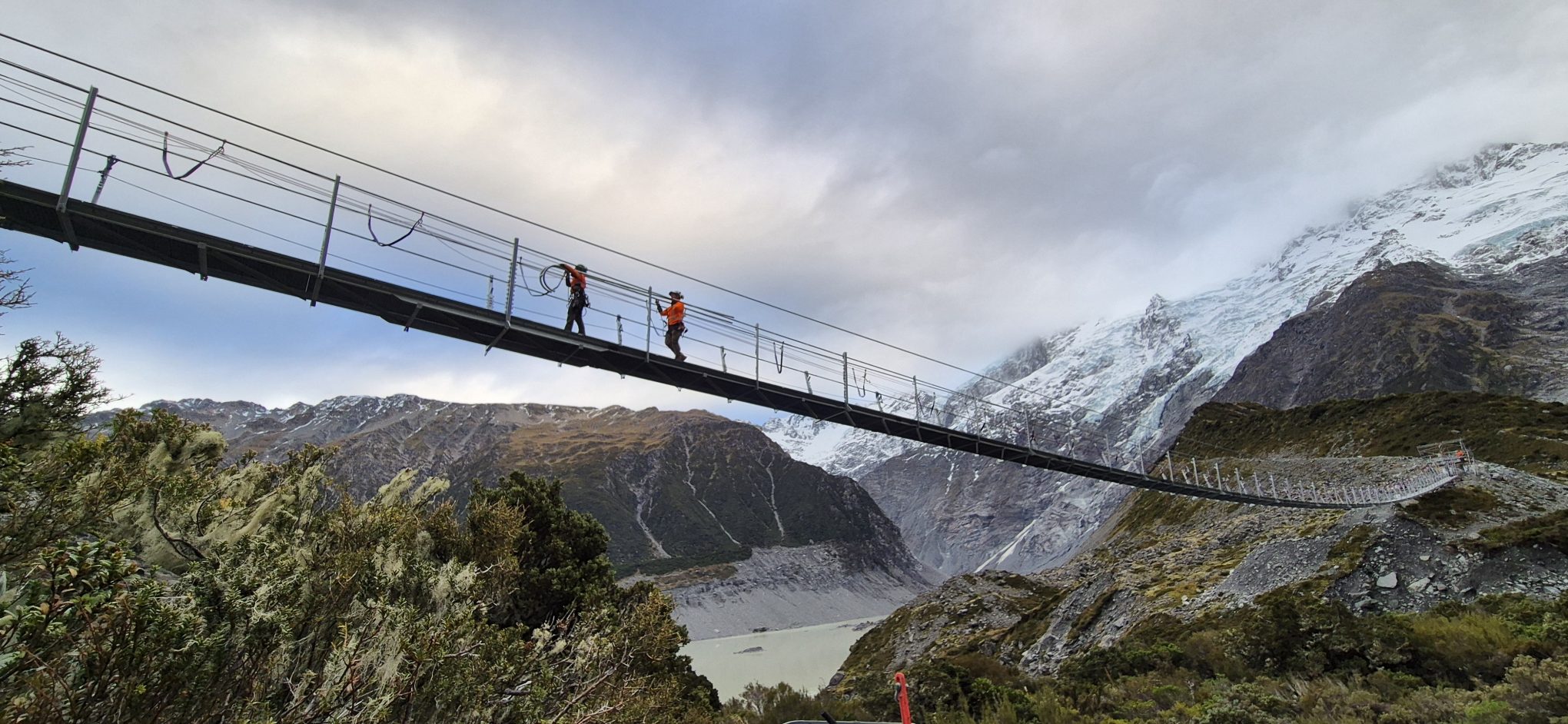
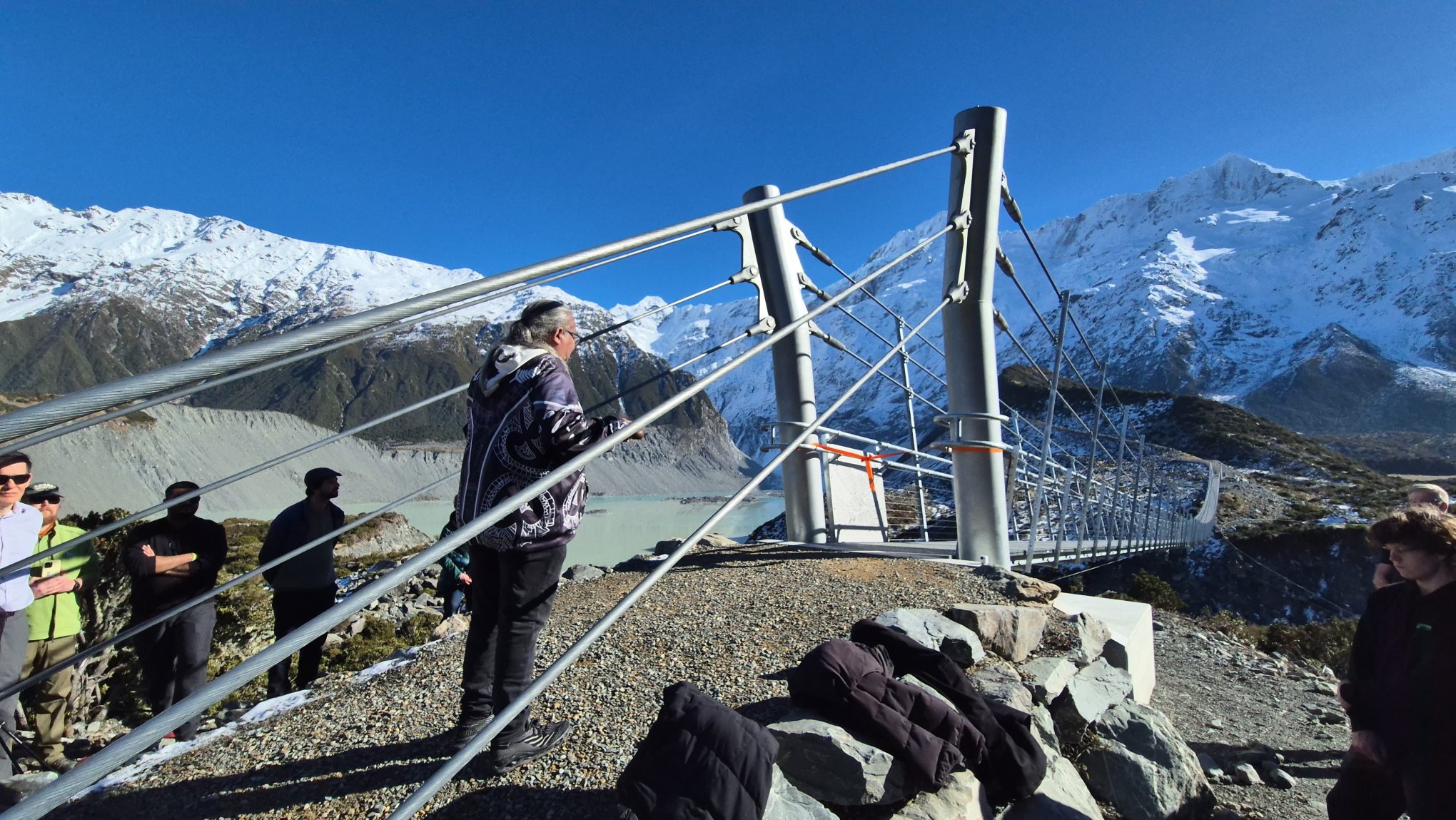
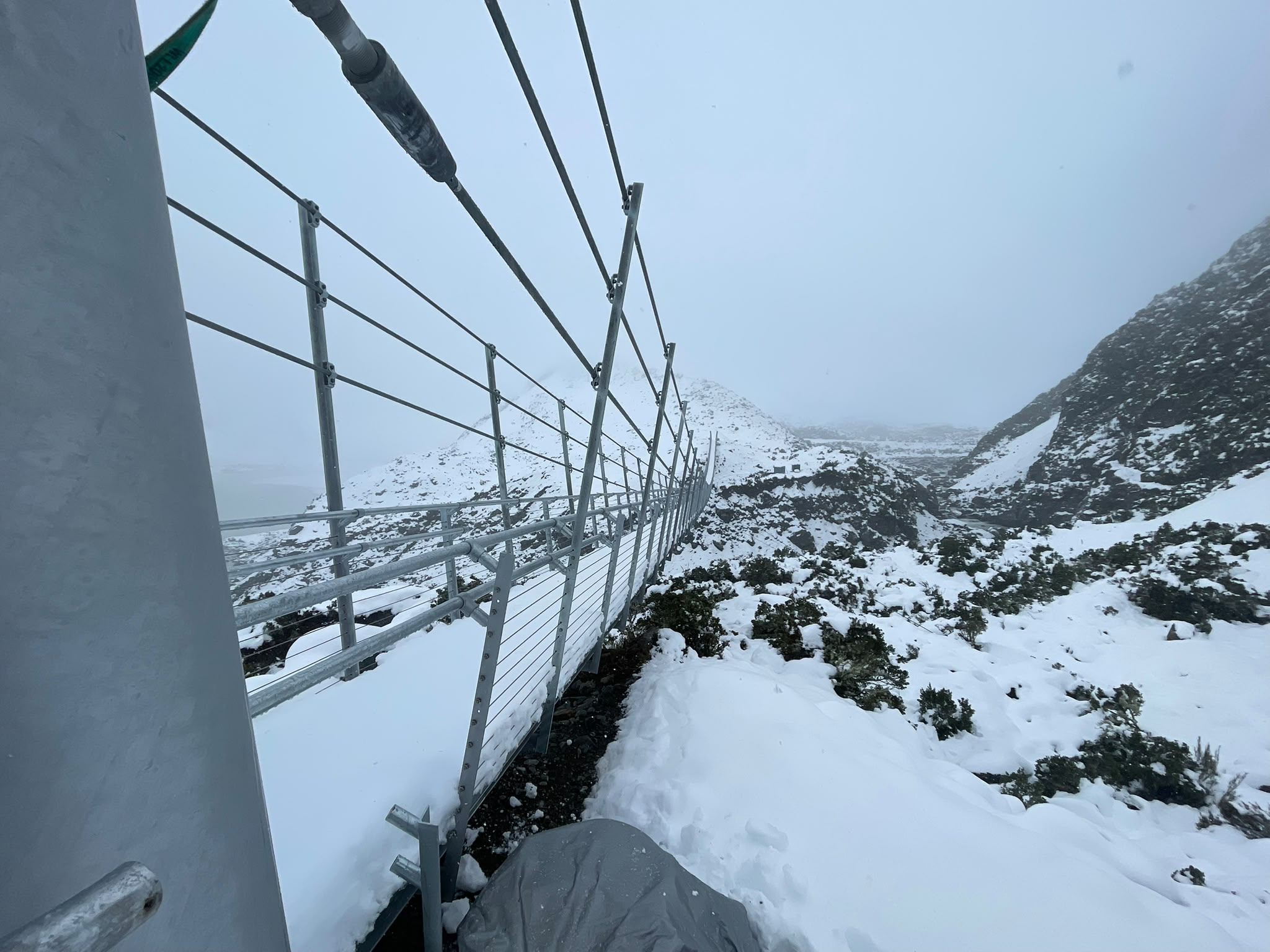
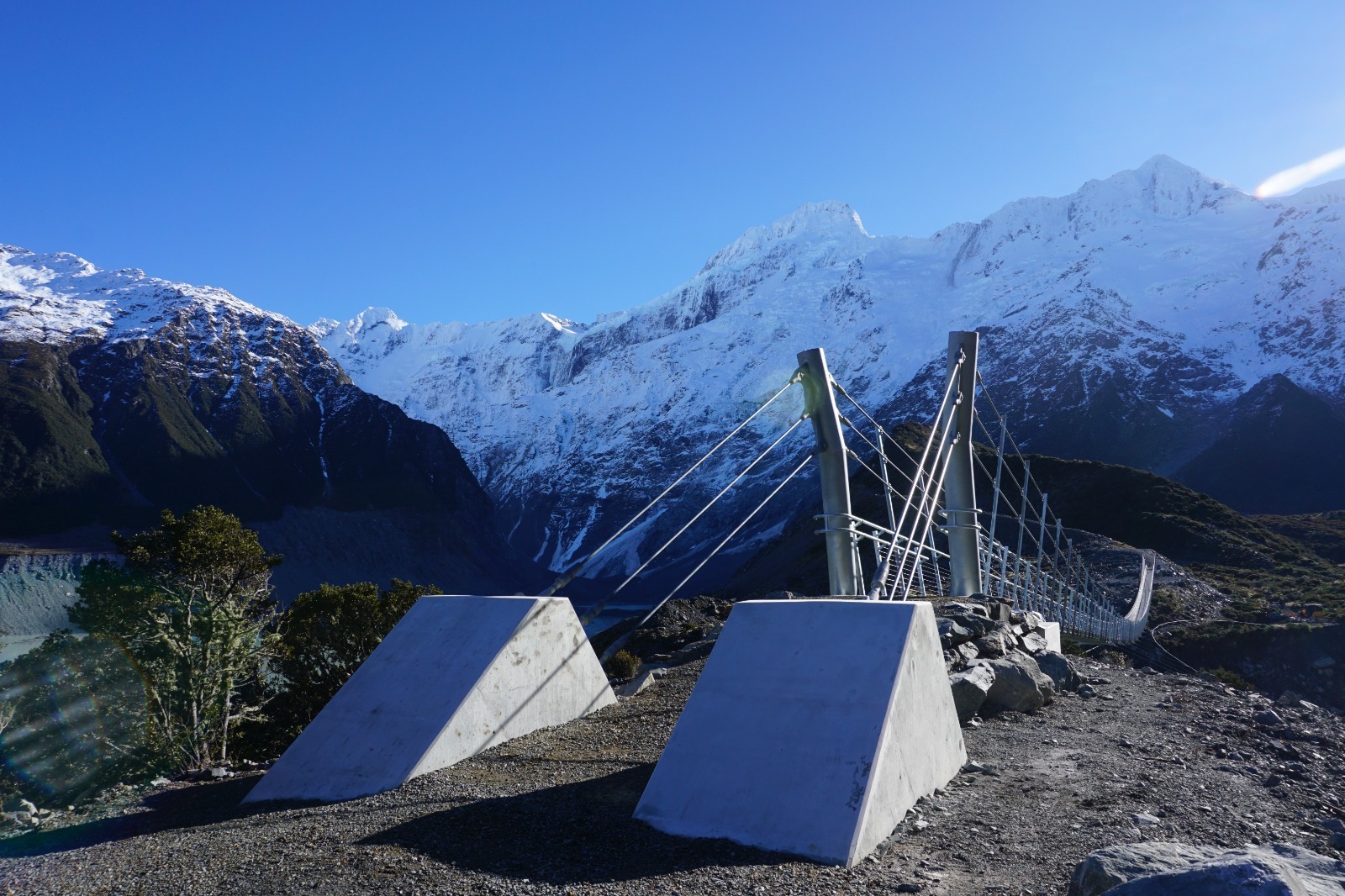
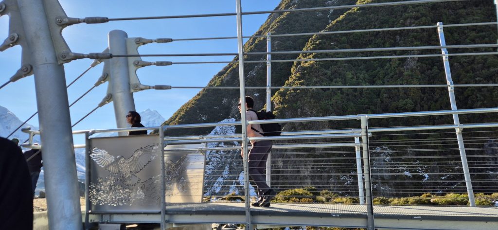
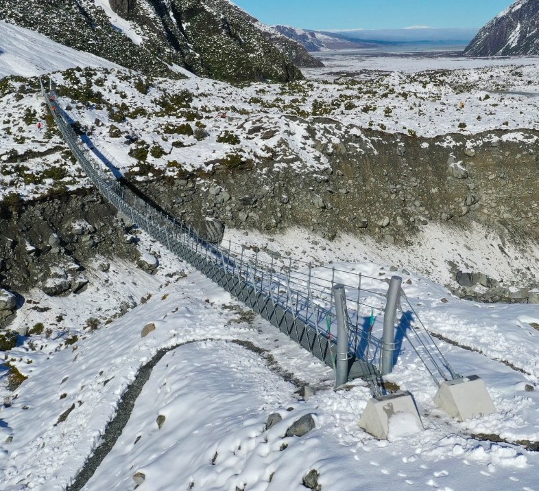
The design is a hybrid model. The main central section is a swing bridge, but there are suspension bridge sections and masts at each end. This lets us lift and stabilise the ends – a 189-metre pure swing bridge would dip a lot in the middle and be very steep at the ends!
Accessing the Hooker Valley Track
Just before you enter Mt Cook Village, turn right into Hooker Valley Road. The track is very well signposted and there is a large carpark and public toilet at the start.
Bridge #2 is currently under construction, and you cannot get all the way to Hooker Lake. However you can still walk the one-hour return trip past Bridge #1 and get great views over Mueller Lake.
Hooker Valley Bridge #2 visitor FAQ
Frequently asked questions.
How long is the walk to the bridge?
It’s a 30-minute walk from White Horse Hill carpark to the new bridge construction site. There are several lookouts and viewing spots along the way.
How difficult is the walk?
Easy. This is a well maintained track suitable for most walkers.
Note that Mount Cook is an alpine environment. The track can get icy and dangerous in cold weather. The weather can also change suddenly – be prepared!
Where should I park?
At White Horse Hill carpark, at the very end of Hooker Valley Road.
When will the bridge be open to the public?
DoC advises that it hopes the new bridge will be completed and opened by autumn 2026.
Accessing the Hooker Bridge
To get there, take Hooker Valley Road along State Highway 80 from Aoraki / Mount Cook Village. Follow the road right to the end where you will find the White Horse Hill carpark- please note that DOC requires you to pay for parking via debit or credit card at the machines located in the carpark. The walking track to the bridge is signposted from the carpark area.
This bridge is part of the Hooker Valley Track at the foot of Aoraki / Mount Cook. It is one of New Zealand’s best day walks, perfect for a family outing.
Hooker Valley Suspension Bridge Visitor FAQ
Frequently asked questions.
The walk from the carpark to the 1st bridge is roughly 15mins. There are multiple signposted side-tracks to Freda’s Rock & the Alpine Memorial which provide great photo opportunities along the way. The Mueller Lookout is just before the first swing bridge over the Hooker River.
From here, it is a 30min walk to our 189m long suspension bridge (the longest in NZ!). You will see stunning views along the way, so make sure that camera is charged! The walk then continues for another 45mins, ending at Hooker Lake.
To return to the White Horse Hill carpark you walk back the same way you came, making it a 3hr round-trip.
Easy to intermediate. The track is mostly gravel, and does have some steps.
In fine weather this track should be suitable for most able-bodied people including supervised children and older people.
Note that Mt Cook can get heavy snow, making the track icy and subject to high winds. This means it can be dangerous in cold weather. Also this is an alpine track where weather can change suddenly – be prepared! Make sure you are dressed appropriately and have let someone know you will be walking the track.
Snow can close the SH80 road, so please check conditions before you travel.
There is parking available at the White Horse Hill carpark. This is a paid parking facility maintained by the Department of Conservation. Parking is $2.50 per half hour, and is capped at $25 a day. The first 20mins are free of charge.
There are debit & credit card machines within the carpark for payment. Please note cash is not accepted. Annual parking permits can be purchased, however, these cannot be purchased at the payment machines and need to be purchased online.
No dogs are allowed on the Hooker Valley Track.
Technical Information
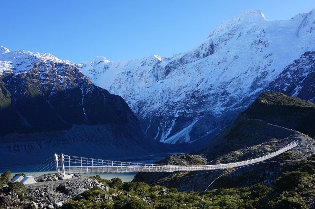
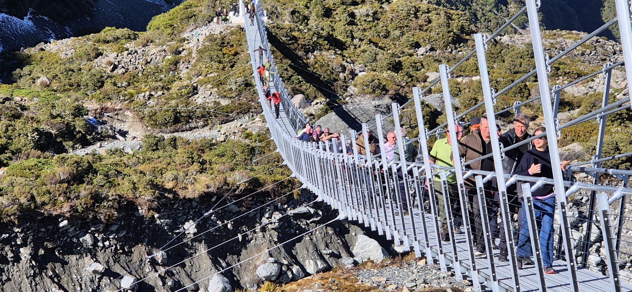
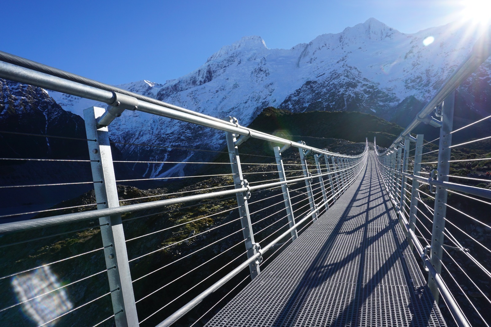
Hooker Valley Pedestrian Bridge #2 is a 189-metre-long swing bridge near Mt Cook Village in the South Island of New Zealand. It is 1.2 m wide and crosses the Hooker River connecting Hooker Lake to Mueller Lake. This is a replacement for the previous swing bridge which closed in 2025.
Design of the suspension bridge was completed by DC Structures Studio for the Department of Conservation (DOC) in early 2025. Construction is underway, and is due for completion in 2026.
A swing bridge is appropriate for such a long span, and minimises the visual impact to the landscape. It is also suitable for construction in remote back country.
Towards the end of the bridge we have optimised for a “hybrid” type approach whereby
hangers and cable extend upward past the deck. This has been adopted to enable maximum
gradients of 8% which would otherwise not be possible by a pure swing bridge where end gradients would be excessive.

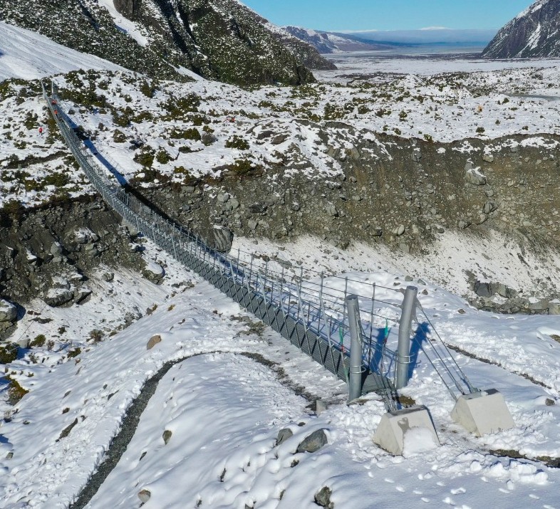
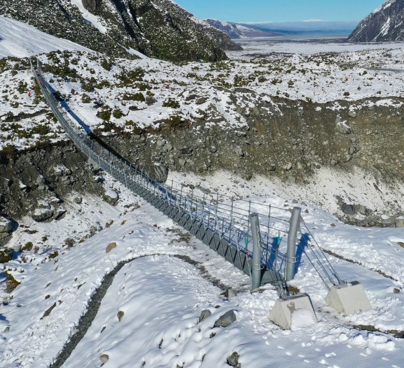
There is a 5 m high steel mast at the east and west ends of the Hooker River respectively. The masts are supported on reinforced concrete pads cast directly onto exposed naturally forming and elevated moraine embankments.
The bridge deck is fixed in position at the eastern bank-seat and free to slide longitudinally at the western mast.
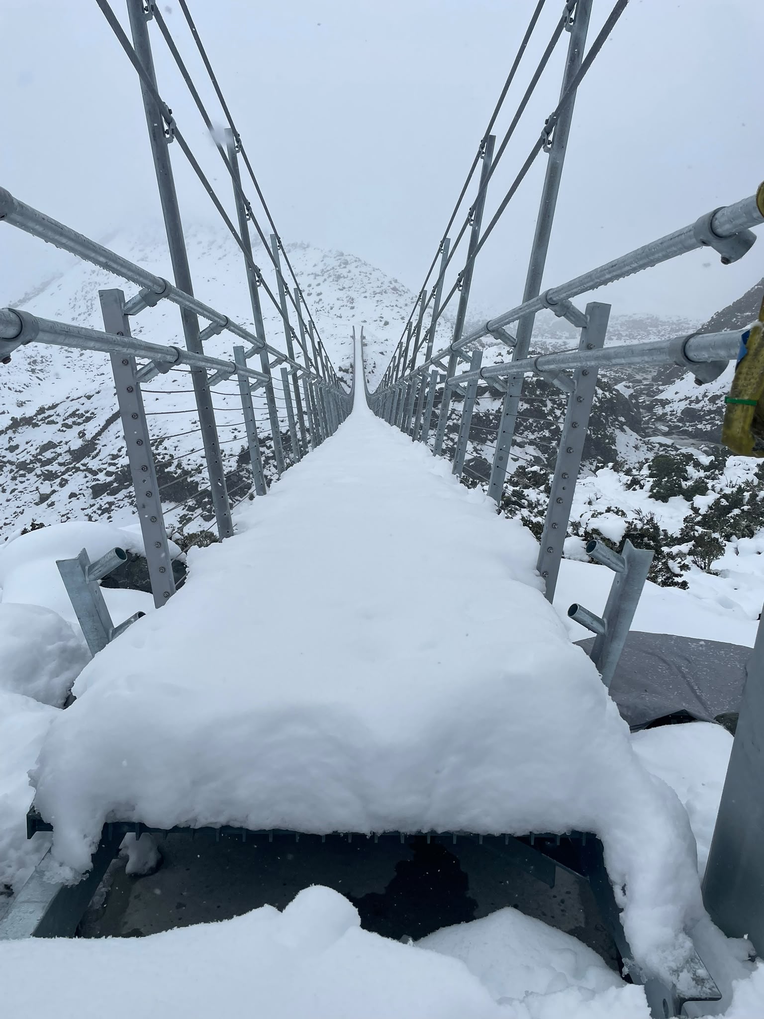
The superstructure consists of two parallel flange channel (PFC) stringers spanning onto equal angle (EA) cross beams positioned at 1500 mm horizontal increments along the span.
Parabolic wind cables connected to cross beams via transverse wind-stays restrain the
superstructure in the lateral direction. They also have a vertical component to help stiffen the
overall superstructure.
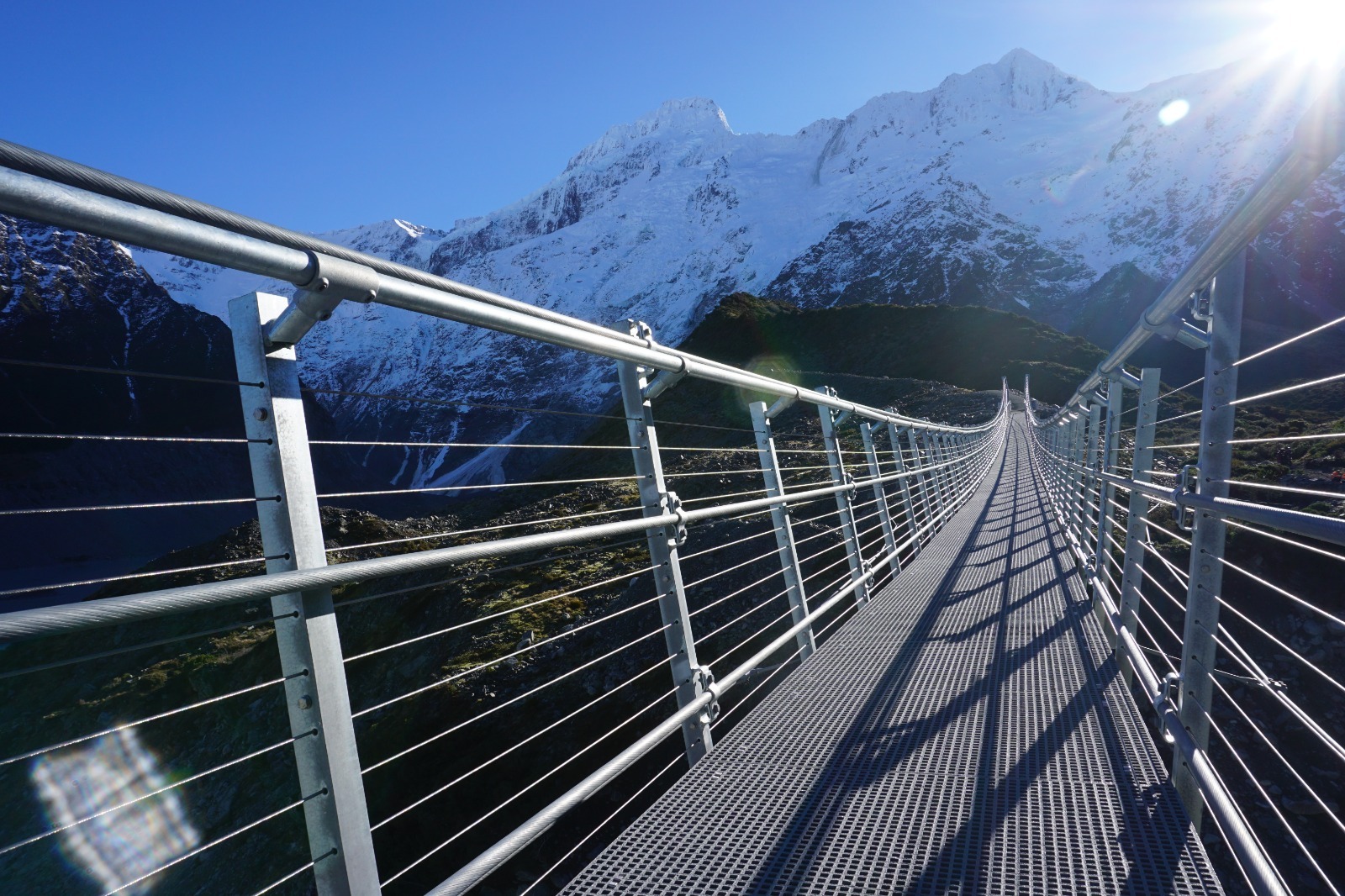
The walking surface is an anti-slip fibre reinforced polymer (FRP) decking.
The balustrade will feature two galvanized tubular rails, one acting as a handrail at 1m and the other as a restraint rail at 1.2m. The rails run between hangers and balustrade posts and project inward from stantions.


“This hybrid design is a first of its kind. I think it’s a great solution for the location. It’s cost-effective, it’s low-impact on the environment, and we’ve solved the problems associated with really long swing bridges. Not many pedestrian bridges are this long, but we hope to see our concept become a baseline for this type of bridge around the world.”
[Dan Crocker – Chief Bridge Architect & Engineer]
Quick Notes
- This is the longest span footbridge in New Zealand.
- Global structural analysis using state-of-the-art SAP2000 software for NZ’s longest
spanning footbridge. - Use of “hybrid” bridge form (½ swing bridge + ½ suspension bridge) to optimise user gradients and minimise mast height for maintenance purposes.
- Complex localised finite element shell model of mast and backstay assemblies.
- Designed to NZTA Bridge Manual 3rd Edition for 100-year design life with live loads varying with loaded length.
- Considers “cable loss” scenarios to international design codes.
- Onsite anchor testing prior to confirming design to minimise client commercial risk.
- Assessment and allowance for ongoing scour effects through this highly dynamic glacier mountain range.
- Detailed aeroelastic wind analyses to understand dynamic behaviour in varying wind velocities. Included comprehensive computation fluid dynamics (CFD) which is a computer driven wind tunnel assessment method.
- Included time history assessment for pedestrian footfall dynamics to latest international codes with detailed consideration of the effects, outcomes, and recommendations for the benefit of our client.
- Using the hybrid system enabled us to minimise the mast height so helicopter erection will be vastly simplified (smaller and lighter with no splicing).
Key Partners
We would like to thank the following organisations for their help and support in getting this project off of the ground:
Department of Conservation – Client & Engineering Review
Abseil Access Ltd – Main Contractor
Riley Consultants – Geotechnical Engineering
Canterbury Metal Works – Fabricator
Speights Drilling – Drilling Contractor
Beca – Survey & Independent Technical Review
Arcus Wire Group & Teufelberger-Redaelli – Cable Supply & Tech Support

Client and Design Collaborator

Construction Contractor